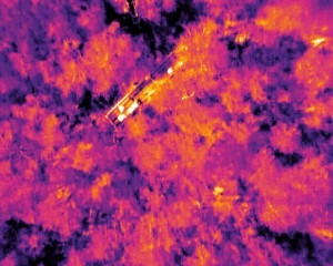
This week Magnus Bremer (Institute of Geography, University of Innsbruck) used the great weather conditions to do a drone flight (video) with a laser scanner for the 3D reconstruction of canopy structure and a thermal imager. Here the aim is to fuse these data in order to improve remote sensing based modeling of evapotranspiration (picture and movie © Magnus Bremer).
- Home
- FAIR site
- Research
- Projects
- Field Sites
- Neustift, Austria
- Vinschgau meadow, Italy
- Vinschgau pasture Italy
- Mondsee, Austria
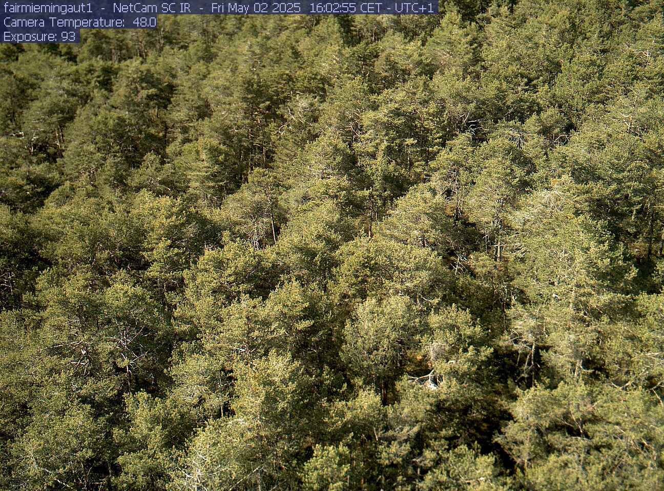
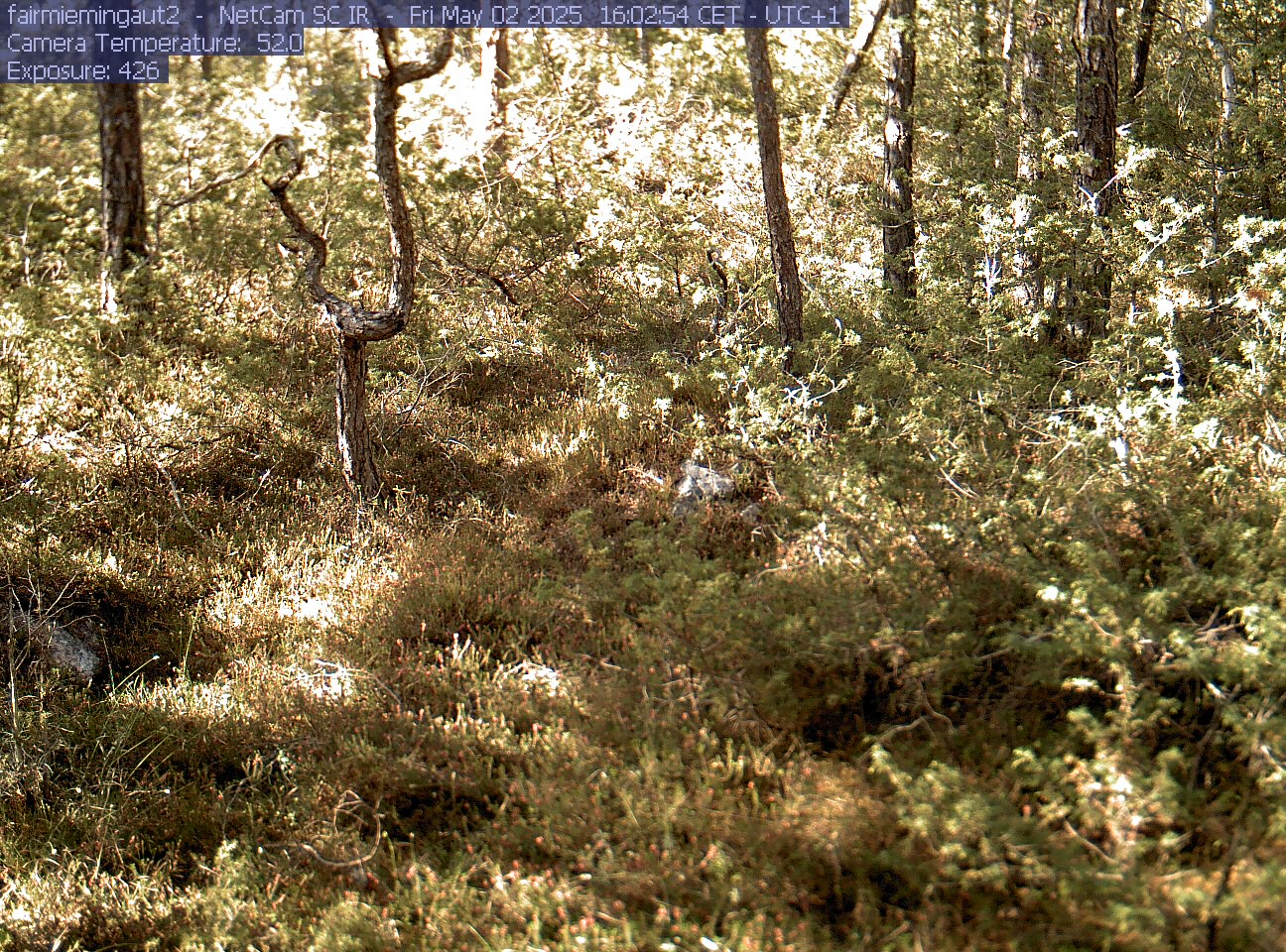
- Mieming, Austria
- Lake Lunz
- Furka Pass, Switzerland
- Rotholz, Austria
- Bolzano, Italy
- Torgnon, Italy
- Längenfeld, Austria
- Fügen, Austria
- Scharnitz, Austria
- Leutasch, Austria
- Kaserstatt, Austria
- Mojave desert, USA
- Järvselja, Estonia
- Castelporziano, Italy
- Publications
- Pictures
- People
- Thesis Topics
- Tools
- Links
- Press